Ancient knowledge meets modern exploration in the language of wind, stars, and direction.
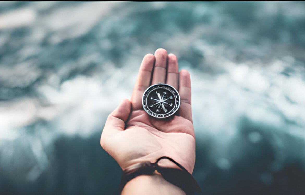
Long before GPS signals bounced between satellites, and digital maps traced glowing routes, sailors navigated vast oceans with only the stars, wind, waves — and the unwavering needle of a compass. To understand the art of wayfinding is to return to a timeless skill, where reading nature and tools becomes both a science and a quiet kind of poetry.
In a world that moves fast, using a compass to chart your course at sea is a practice in presence, patience, and trust — in both your tools and yourself.
What Is Wayfinding? A Brief Voyage Into Tradition
Wayfinding is more than navigation. It is an ancient seafaring practice, used by Polynesians, Vikings, Arab traders, and countless coastal cultures to cross oceans, read the environment, and orient oneself with the world.
Key principles include:
- Observation of nature (sun, stars, birds, currents)
- Mental mapping and distance estimation
- Use of simple tools, like the magnetic compass
Modern wayfinding blends this traditional awareness with instruments that, while old in design, remain powerfully relevant today.
The Compass: Your Steady Sea Companion
Invented over 1,000 years ago, the magnetic compass revolutionized maritime travel. It doesn’t rely on visibility, making it invaluable when:
- Sailing through fog, clouds, or night
- Navigating unfamiliar waters
- Losing sight of land or sky
How it works:
A magnetic needle aligns with Earth’s magnetic field, pointing north. From there, navigators use a 360° system (with cardinal points: North, East, South, West) to calculate bearings and plot a course.
Charting a Course at Sea with a Compass
Here’s how modern mariners combine a marine compass with traditional charting:
1. Identify Your Starting Point and Destination
Use a nautical chart to pinpoint locations and calculate the true bearing between them.
2. Account for Magnetic Variation
The difference between true north and magnetic north must be adjusted for accuracy. Charts note this variation (also called declination).
3. Plot Bearings with a Divider and Parallel Ruler
Old-school tools that let you measure distances and align compass courses on paper maps.
4. Use the Compass on Deck
Mounted or handheld, your marine compass gives a heading — the direction your bow is pointing. Stay steady, adjusting for currents and wind.
5. Watch for Deviation
Onboard electronics or metal objects can skew compass readings. Learn to calibrate and compensate.
When Tools Fail, Nature Guides
Part of wayfinding is knowing when to supplement instruments with instinct:
- Stars: Polaris (North Star) and Southern Cross help find direction.
- Swell Patterns: Ocean swells run in consistent directions and can hint at prevailing winds or land proximity.
- Sun Position: Morning in the east, afternoon in the west — a simple but reliable aid.
“One night in the Pacific, clouds hid the stars and my compass spun. I trusted the waves. By morning, we were still on course.”
— @seaskiesoul, #UnchartedWayfinding
Why Wayfinding Still Matters
Even in an age of technology, wayfinding using a compass teaches:
- Resilience in uncertainty
- Confidence without over-reliance on devices
- A connection to the rhythms of Earth and sea
For sailors, adventurers, and those drawn to the vastness of the ocean, this practice is not just about travel — it’s about self-reliance and sacred simplicity.
What Did You Learn from the Compass?
Was it a moment of trust during a long night sail?
A newfound awareness of wind and water working in harmony?
At Uncharted Sanctuary, we honor not just the places you reach, but the wisdom of how you got there.
📌 Use #UnchartedWayfinding or #CompassWisdom
📷 Share your compass, your chart, or the open sea
📝 Submit your maritime journey at unchartedsanctuary.com
The art of wayfinding isn’t just about navigating the world — it’s about learning how to be guided, even in the unknown.
Let the needle settle.
Trust the bearing.
And sail onward — with clarity, courage, and a compass at your side.
